
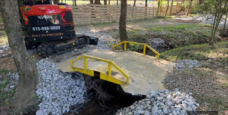
Service area · Rutherford County, TN
Excavating, grading & drainage in Murfreesboro and Rutherford County
I-840 runs from Wilson County across Rutherford County to I-24 at Murfreesboro. That is our road south.
Getting there
I-840 to I-24Smyrna has its own I-840 exits at SR 102 and SR 266.
“Super professional company. Excellent on communication, scope of work, and timeframe… exceeded all expectations, would definitely recommend and use again.”
Rutherford County
Sinkhole country needs a plan.
Under much of Rutherford County, rainwater does not just run off. It drains down into the limestone through sinkholes.
The USGS studied this with the City of Murfreesboro.
After storms in 2001 and 2002 it tracked flooding in 78 sinkholes in areas east, north and northwest of the city, mostly on the Ridley Limestone.
We cover Murfreesboro, Smyrna and La Vergne, and the rest of the county off the same I-840 run.
The ground
What the USGS found.
The study sorted sinkholes into three kinds: shallow pan sinkholes that drain slowly, deep ones that drain fast, and deep ones that drain slowly.
Its finding for anyone moving dirt: land changes that send more water into a sinkhole can raise flood levels and make flooding last longer. Road work that blocks flow between sinkholes can do the same.
The soil over that rock is often thin. The state describes Stones River Cedar Glade, inside Stones River National Battlefield, as mostly limestone outcrop and very shallow soil.
The USDA typed the Talbott soil series 7 miles from the Murfreesboro courthouse: clay 20 to 40 inches over limestone, with karst in some areas.
Mimosa, typed near Eagleville, is a deeper clay that drains slowly.
What that means for your job
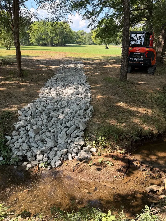
Send water to a real outlet. We grade and shape swales so runoff leaves the property, not into a sinkhole or onto the neighbor.
Plan pads and trenches for rock. Thin soil over limestone means rock can show up early in a dig.
Keep clay from ponding. Slow clay holds water, so finished grades need positive fall.
Sources: USGS, Sinkhole Flooding in Murfreesboro, Rutherford County, Tennessee, 2001 to 2002; Tennessee Dept. of Environment and Conservation, State Natural Areas in the Central Basin; USDA NRCS, Talbott soil series; USDA NRCS, Mimosa soil series; USDA NRCS, Gladeville soil series.
Services
Work that fits Rutherford County.
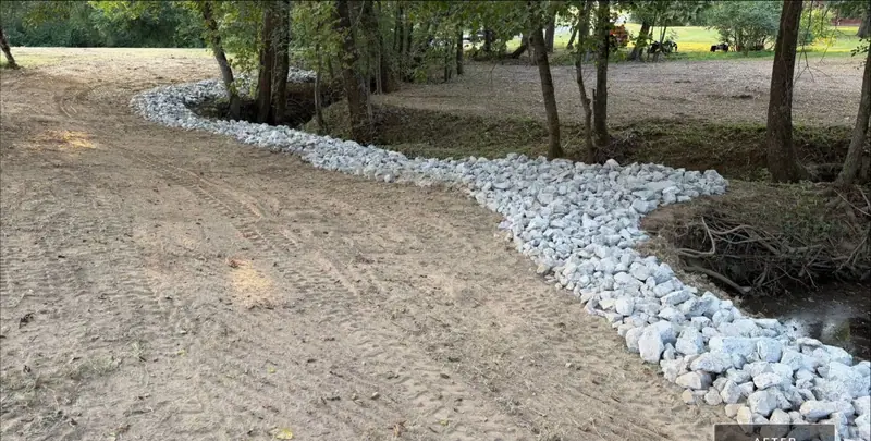 Drainage & Erosion ControlSwales, regrading and rock-lined ditches that move water to a safe outlet.
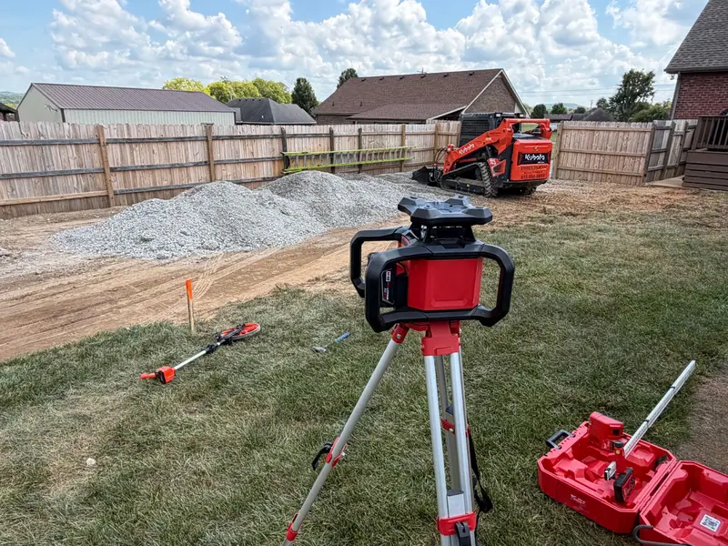 Grading & Site PrepPads and lots graded with positive fall on slow clay.
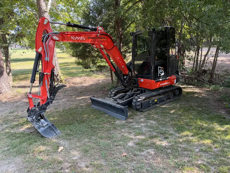 ExcavatingFootings, culverts and rock removal where limestone runs shallow.
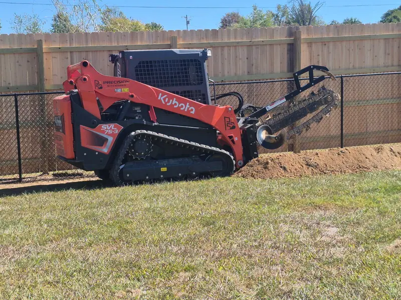 TrenchingUtility and drain trenches planned for rock.
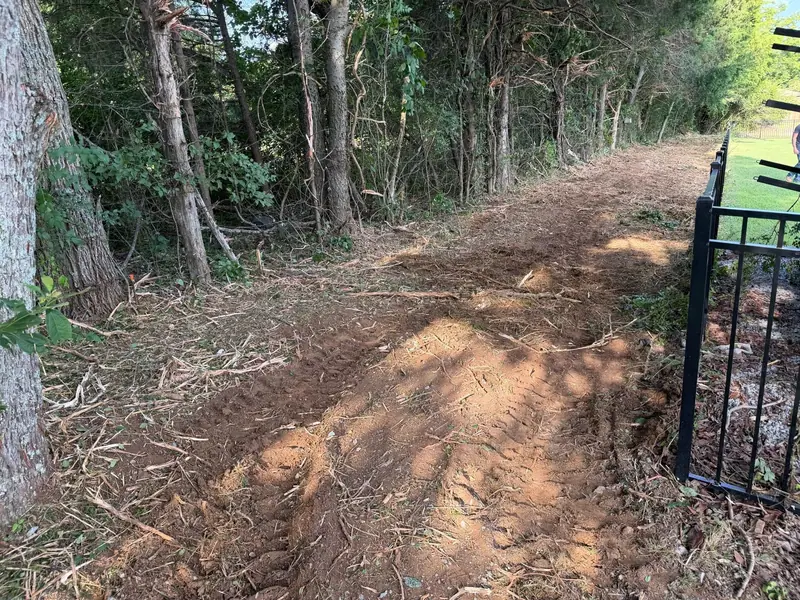 Land ClearingOvergrown lots and cedar-choked fence rows cleared.
Nearby
Also south of Nashville.
Past Murfreesboro, I-840 meets I-65 near Franklin. We cover Williamson County too: Franklin, Brentwood, Nolensville and Spring Hill, plus Maury County.
More service areas
Built on Precision
Work to do in Rutherford County?
Call or text with the address, or request a quote with the form. You get a straight answer and a clear plan for the job.