
Service area · Upper Cumberland, TN
Excavating & land clearing in Cookeville, Crossville and the Upper Cumberland
I-40 runs east from Lebanon up onto the Highland Rim at Cookeville and the Cumberland Plateau at Crossville.
Getting there
I-40 eastCookeville and Crossville are both on I-40, east of Wilson County.
“Outstanding customer service and work! Had brush piles and trees that fell all cleaned up same day. Highly recommend and will be in touch for future projects.”
Upper Cumberland
Higher ground, different rock.
East of Wilson County the land steps up.
The rise from the Nashville Basin onto the Eastern Highland Rim is about 500 feet, and the Cumberland Plateau rises roughly another 1,000 feet above the Rim.
Cookeville sits on the eastern Highland Rim at about 1,140 feet.
Crossville is near the center of Cumberland County, on the plateau, where the county averages about 2,000 feet.
Closer in, we cover Carthage, Hartsville and Lafayette, and Smith, Trousdale, Macon, DeKalb and Cannon counties.
The ground
Chert on the Rim, sandstone on top.
Around Cookeville: most of Putnam County lies on the Highland Rim.
The EPA and USGS describe the Eastern Highland Rim as Mississippian limestone, chert, shale and dolomite, with sinkholes and depressions in places.
Highland Rim soils like Dickson carry a dense fragipan that drains slowly.
Around Crossville: the plateau is capped with hard Pennsylvanian sandstone. The building stone sold as Crab Orchard stone comes from it, and the USGS calls the unit the Crossville Sandstone.
Plateau soils are mostly well drained, acid and low in fertility. The USDA describes Ramsey soils as 7 to 20 inches over sandstone with outcrops common, and Hartsells as 20 to 40 inches to sandstone.
What that means for your job
Sandstone ledges. On the plateau, rock can sit a few inches down. We size the dig and the method to the site before we start.
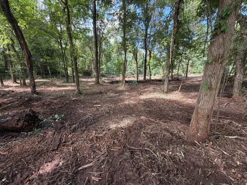
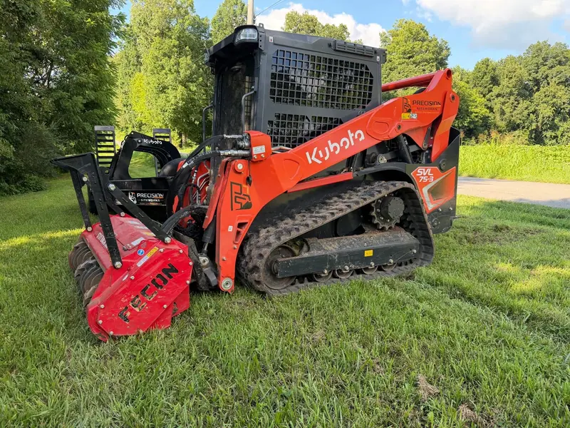
Woods first. Much of the plateau is forest, so many projects start with clearing. Forestry mulching opens a homesite or trail and leaves good trees standing.
Cover bare slopes. Graded ground needs erosion control until it grows back in.
Sources: Tennessee Encyclopedia, Geologic Zones; Tennessee Encyclopedia, Putnam County; Tennessee Encyclopedia, Cumberland County; Tennessee Tech, About Cookeville; EPA and USGS, Ecoregions of Tennessee; USGS Geolex, Crossville Sandstone; USDA NRCS, Ramsey soil series; USDA NRCS, Hartsells soil series; USDA NRCS, Dickson soil series.
Services
Work that fits the Upper Cumberland.
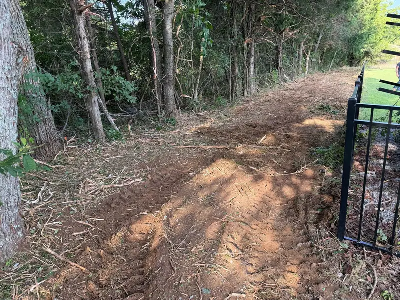 Land ClearingWooded homesites, lots and fence lines cleared.
- Forestry MulchingUnderbrush mulched in place on wooded plateau and Rim lots.
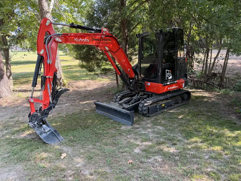 ExcavatingPads, culverts and rock work where sandstone sits shallow.
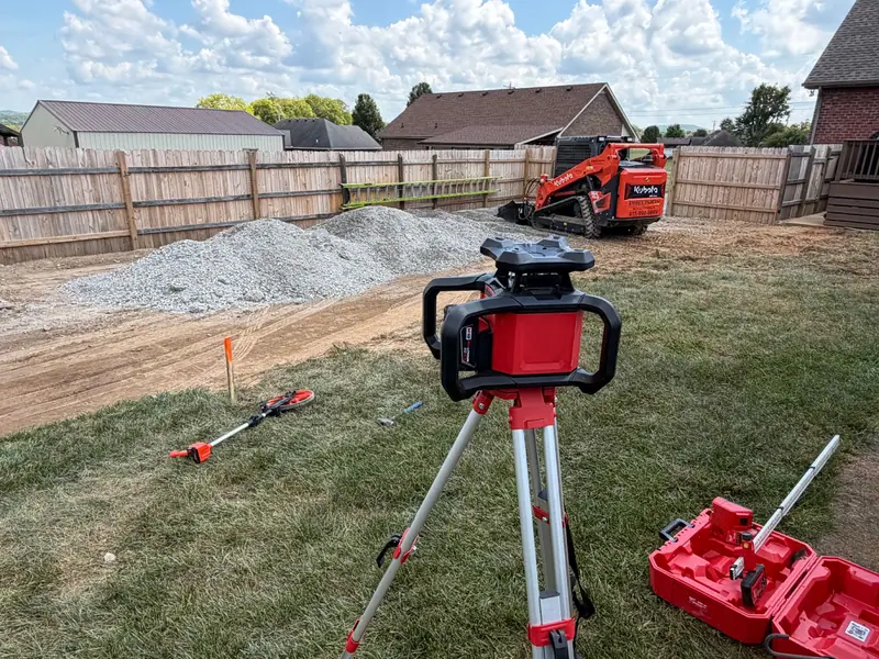 Grading & Site PrepHomesites and pads graded to accurate elevations.
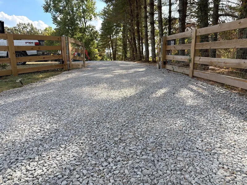 Driveway Grading & RepairLong gravel drives shaped to shed water.
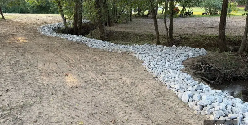 Drainage & Erosion ControlSwales and rock where runoff cuts into graded ground.
Nearby
Across the Upper Cumberland.
Cookeville and Crossville, plus Carthage, Hartsville and Lafayette. Counties: Putnam, Cumberland, Smith, Trousdale, Macon, DeKalb and Cannon.
More service areas
Built on Precision
Work to do in the Upper Cumberland?
Call or text with the address, or request a quote with the form. You get a straight answer and a clear plan for the job.