
Driveways and drainage
Driveway drainage improvements with a cross culvert, driveway surface restoration with fresh aggregate, and existing riprap relocated.
Services
Service areas
Based in Lebanon, Tennessee. Serving Middle Tennessee and Southern Kentucky.
Service area · Davidson County, TN
I-40 runs west from Lebanon and Mt. Juliet into Hermitage and Donelson. I-840 and I-24 cover the south side.
Getting there
I-40 westI-40 enters Davidson County at Hermitage, crosses the Stones River near Percy Priest Dam and runs through Donelson by the airport.
“Cameron was a pleasure to deal with. Always on time, very helpful in meeting my goals to level my yard and establish erosion barriers. He also improved the drainage of several sections of the yard, removed 4 huge brush piles, moved boulders, ground up stumps, put down rip rap, reinforced a bridge over my creek, replaced a walkway crossing the creek, arranged for tree work, brought in 20 tons of sterilized dirt and leveled it, and seeded the lawn where needed. Everything he did exceeded my expectations. I couldn’t have asked for a better experience.”
Davidson County
The Tennessee Encyclopedia calls Davidson County a large, sprawling landscape, not just the city of Nashville.
Radnor Lake and the Warner Parks still hold forest and rolling hills on the west side.
Our side of town is the east side. Hermitage, Donelson and Old Hickory are a short run west on I-40 from Mt. Juliet, and we work across the rest of the county too.
I-840 runs from I-40 near Lebanon to I-24 at Murfreesboro. I-24 comes north from there through Antioch into southeast Nashville.
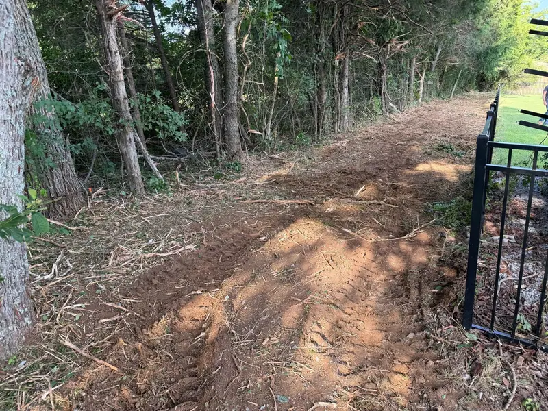
The work here runs from driveway drainage and culverts to fence line clearing, tree removal and forestry mulching on overgrown back lots.
The ground
Nashville sits in the Central Basin, also called the Nashville Basin, a low area ringed by the higher ground of the Highland Rim.
The basin is the worn-down core of an old uplift called the Nashville Dome, and its bedrock is mostly Ordovician limestone.
The EPA and USGS ecoregion map splits the basin in two. In the inner basin, limestone outcrops are common and soils are generally shallow.
The outer basin is hillier, and its higher hills and knobs are capped with cherty rock left over from the Highland Rim.
That limestone dissolves. A USGS dataset maps the inner and outer Nashville Basin as karst regions, ground marked by closed depressions, sinkholes and sinking streams, and notes that soluble rock underlies most of Middle Tennessee.
A 2023 study by USGS scientists found that Tennessee has more land with high or very high sinkhole susceptibility than any state except Florida.
The USDA type location for the Gladeville soil series is in Davidson County, two miles south of Percy Priest Dam: 3 to 12 inches of flaggy soil over thin-bedded limestone, in areas with a lot of rock outcrop.
The state protects two glades here: Mount View Glade in suburban Nashville, and Couchville Cedar Glade in Davidson and Wilson counties.
Along creeks the ground changes. The USDA describes Byler soils on Nashville Basin stream terraces as silty, with a dense fragipan 18 to 34 inches down that water moves through slowly to very slowly.
Plan for rock. A culvert, trench or water line repair can hit limestone a few inches down. We look at the ground before we quote the dig.
Send water somewhere real. On karst ground we do not shape a yard or a drive to dump more runoff into a sinkhole. Swales, cross culverts and rock carry it to a proper outlet.
Low ground near creeks stays wet. A slow layer can hold water near the surface. Grade and swales do more there than filling the low spot.
Sources: Tennessee Encyclopedia, Geologic Zones; Tennessee Encyclopedia, Davidson County; EPA and USGS, Ecoregions of Tennessee; USGS, Geospatial dataset of depressions, sinking streams, and associated watersheds in karst areas of Tennessee (Ladd, 2025); Wood and others (USGS), Current and future sinkhole susceptibility in karst and pseudokarst areas of the conterminous United States, Frontiers in Earth Science, 2023; USDA NRCS, Gladeville soil series; USDA NRCS, Byler soil series; Tennessee Dept. of Environment and Conservation, State Natural Areas in the Central Basin.
Services
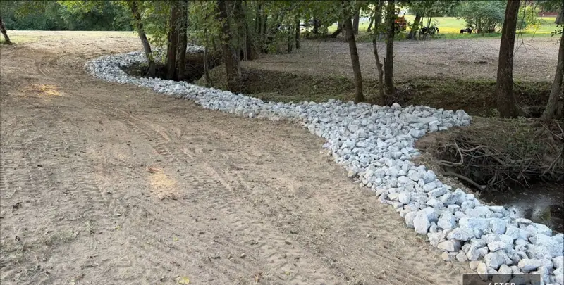 Drainage & Erosion ControlCross culverts, swales and riprap that move water off drives and yards.
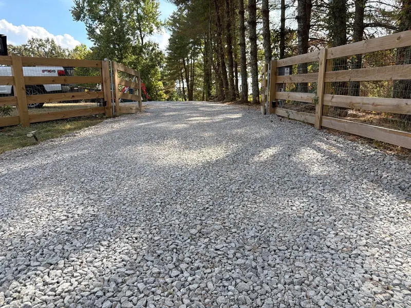 Driveway Grading & RepairGravel drives restored, regraded and topped with fresh aggregate.Land ClearingFence lines, overgrown back lots and storm debris cleared.
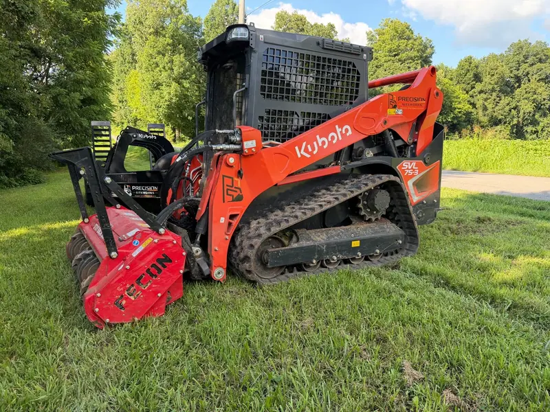 Forestry MulchingBrush and saplings mulched in place to reclaim overgrown ground.
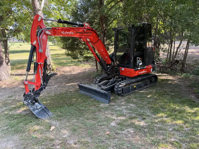 ExcavatingCulverts, water line digs and rock work where limestone runs shallow.
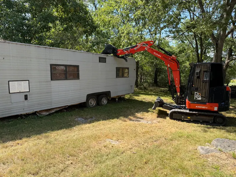 Demolition & RemovalOld fences torn out and hauled off.
From our job records
Jobs from our records in Nashville, January to October 2026. Customer names and addresses stay private.
Driveway drainage improvements with a cross culvert, driveway surface restoration with fresh aggregate, and existing riprap relocated.
Fence line clearing, fence removal and disposal, forestry mulching to reclaim overgrown property, and rear property cleanup.
Tree removal and stump grinding, and a private water line repair.
Nearby
Mt. Juliet and the rest of Wilson County are next door on I-40. To the south, I-24 runs through Antioch toward Murfreesboro.
Built on Precision
Call or text with the address, or request a quote with the form. You get a straight answer and a clear plan for the job.