
Nolensville
Williamson County
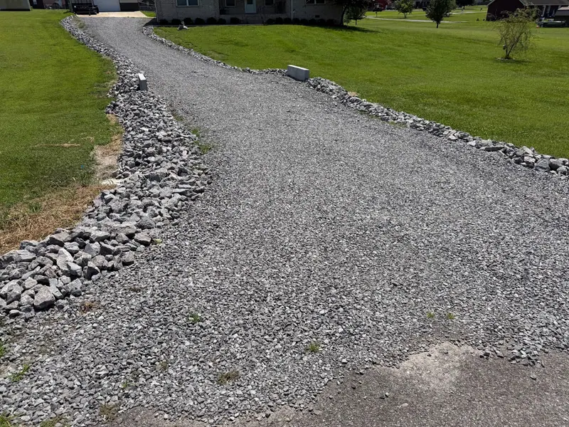
Driveway repair and Harley rake driveway restoration.
Services
Service areas
Based in Gladeville, Wilson County, TN. Serving Middle Tennessee and Southern Kentucky.
Service area · Williamson County, TN
I-840 runs from Gladeville across Rutherford County into Williamson County, where it meets I-65 south of Franklin. That is our road southwest.
Getting there
I-840 to I-65I-840 also has exits at US 31A and US 41A near Triune and at US 31, Columbia Pike, south of Franklin.
“Precision Siteworks did a great job with the power raking on my yard. They were very professional throughout the whole process and got the work done exactly as I needed. My front yard looks much better now, and I’m happy with how everything turned out.”
Williamson County
Williamson County was carved out of Davidson County in 1799. Franklin, the county seat, was laid out the next year on land half circled by the Big Harpeth River.
It has also been one of the fastest growing counties in the state, with new roads, schools and neighborhoods reaching into what was farm country. That keeps a steady stream of lots being cleared, graded and reworked.
We cover Franklin, Brentwood, Nolensville, Thompson's Station and Spring Hill, which runs over the line into Maury County, and the rural ground between them.
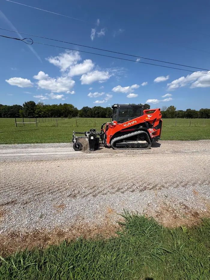
The work runs from driveway repair and Harley rake restoration to grading, drainage, clearing and excavation.
The ground
Williamson County sits on the edge of the Nashville Basin. The county's own soil mapping standards describe ground in the inner and outer Central Basin and on the Highland Rim, the higher ring of land around the basin.
The EPA and USGS ecoregion map describes the outer basin as rolling and hilly, on limestone, with its higher hills and knobs capped by cherty rock left over from the Highland Rim. Its limestone and soils are high in phosphorus, and commercial phosphate is mined there.
The Western Highland Rim is open, rolling hills over limestone, chert and shale, with soils that tend to be cherty and acid.
The county tells soil mappers that rock outcrops and shallow rock turn up in every part of the county, not just the inner basin.
Its guide sketches how bedrock sits under the soil: broad flat ledges, rock that rises and dips, pinnacles beside deep troughs, loose floaters, and stair step ledges on hillsides.
It also flags soft rock. The Hermitage Formation in the outer basin and the Fort Payne Formation on the Rim are sometimes weathered so deeply that the rock looks more like soil than stone.
And it notes that phosphate was mined in several parts of the county through the 1980s. Many of those sites were reclaimed long ago and show little sign of it beyond mixed soil, the same jumble left where land was cleared by pushing up stumps and root balls or where old pits were filled back in.
Two USDA soil series were typed here. Braxton, typed east of Arrington, is a very deep clay soil formed partly from weathered limestone, and water moves through it moderately slowly.
Stiversville, typed south of Bethesda, is a loamy soil 40 to 60 inches over soft siltstone and sandstone layered with shale and limestone, rock the USDA says can be dug with a spade in most places.
Expect the rock line to move. A pad or trench can go from deep soil to ledge in a few feet. We look at the ground before we price the dig.
Find the soft spots first. Mixed soil from old clearing, filled pits or mining can settle unevenly, so we check the ground before a driveway or pad goes over it.
Give clay somewhere to drain. Deep, slow clay holds water. Finished grades and driveway crowns need fall to a real outlet.
Sources: Tennessee Encyclopedia, Williamson County; Williamson County Government, soil mapping standards, Appendix 1 (draft, January 2025); EPA and USGS, Ecoregions of Tennessee; USDA NRCS, Braxton soil series; USDA NRCS, Stiversville soil series.
Services
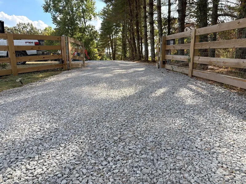 Driveway Grading & RepairHarley rake restoration: the old gravel reclaimed, regraded and compacted.
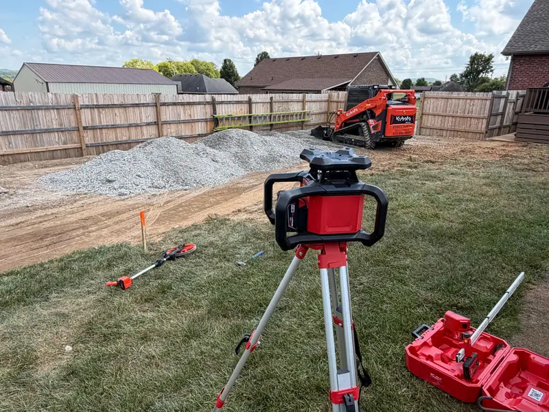 Grading & Site PrepPads and lots graded with positive fall, checked with a laser.
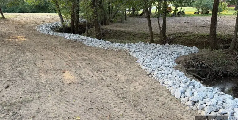 Drainage & Erosion ControlSwales, culverts and rock that move water to a safe outlet.
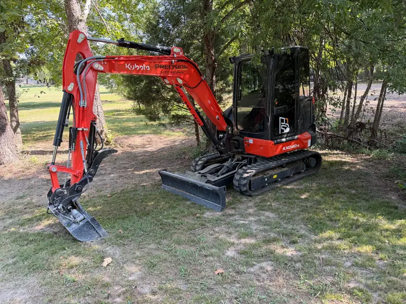 ExcavatingFootings, culverts and rock work where ledge runs shallow.
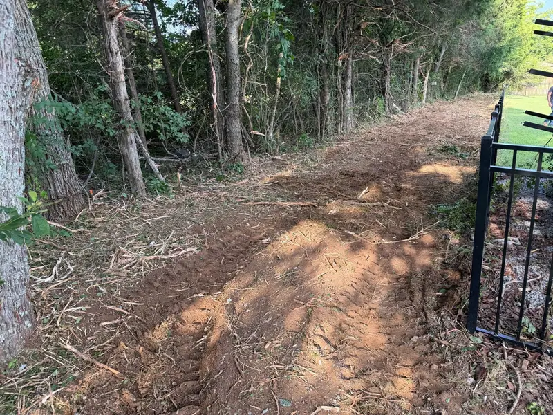 Land ClearingOvergrown lots and fence rows cleared.
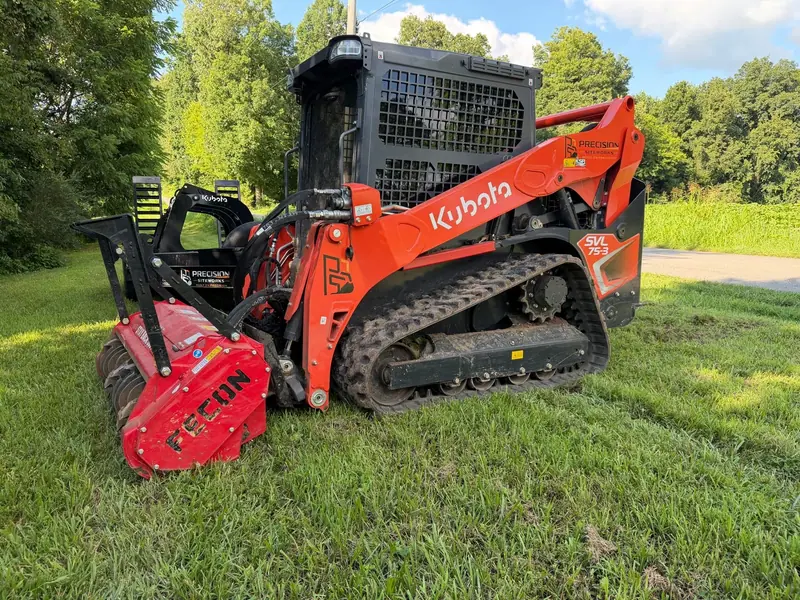 Forestry MulchingBrush and saplings mulched in place, good trees kept.
From our job records
Nolensville, from our records, January to October 2026. Customer names and addresses stay private.
Williamson County
Driveway repair and Harley rake driveway restoration.
Nearby
Rutherford County is next door on I-840. Maury County and Bell Buckle in Bedford County are farther south, and Nashville is up I-65.
Built on Precision
Call or text with the address, or request a quote with the form. You get a straight answer and a clear plan for the job.